
High flood to hit Lagos, Delta, Imo, 12 other states in 7 days – NiHSA
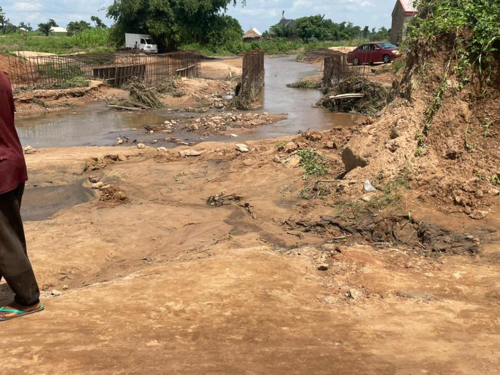
File image or flood-ravaged community.
n…asks affected people to relocate
nBy Gabriel Ewepu, ABUJA
nThe Nigeria Hydrological Service Agency (NiHSA) has said a seven-day high flood will hit Imo, Cross River, Lagos and 12 other states.
nThe Director General (DG) and Chief Executive Officer (CEO) of NiHSA, Arch Umar Mohammed, made the disclosure on Friday in a National Flood Advisory, saying the flood is expected to occur from September 19 to 25, 2026.
nMohammed said schools, healthcare facilities, markets, farms and religious buildings, among others, will be affected.
nHe also called on affected state governments to urgently move their people to safer and higher ground ahead of the flooding.
nHe said, “High riverine flood risk forecast for the next 7 days across Imo, Cross River and 13 other states. Rising river stages are expected to cause flooding.
n“Communities on the floodplain should prepare to move to higher ground. Stations: Obubra on the Cross River, Itigidi on the Cross River, and Epento on the Cross River.”
nAccording to the advisory, several communities and critical facilities across the affected states are exposed to the risk of flooding.
nIn Imo State, the affected local government areas are Aboh-Mba, Ahizu-Mb, Ehime-Mb, Ezinihit, Ideato No, Ihitte/U and Ikeduru. The agency identified 958 communities, 1,022 schools, 553 healthcare facilities, 161 markets and 198 religious buildings as exposed to the flood risk.
nIn Cross River, the affected local government areas include Abi, Akamkpa, Akpabuyo, Biase, Calabar, Calabar South, Ikom and Obubra. NiHSA listed 2,471 communities, 703 schools, 344 healthcare facilities, 145 markets, 453 religious buildings and 854 hectares of farmland as exposed.
nThe agency also identified Abakaliki, Afikpo, Afikpo South, Ebonyi, Ezza North and Ezza as affected local government areas in Ebonyi State, with 2,574 communities, 1,064 schools, 422 healthcare facilities, 480 markets, 629 religious buildings and 1,882 hectares of farmland exposed.
nIn Benue, Buruku, Gboko, Guma, Katsina-Ala, Logo and Ukum are among the affected local government areas. The exposure includes 303 communities, 100 schools, 48 healthcare facilities, 32 markets, 151 religious buildings and 55 hectares of farmland.
nFor Anambra State, the affected areas include Aguata, Anambra East, Anambra West, Anaocha, Awka North, Awka South and Ayamelum. The advisory put the number of exposed communities at 1,314, with 1,308 schools, 1,089 healthcare facilities, 280 markets, 610 religious buildings and 1,529 hectares of farmland also at risk.
nIn Akwa Ibom, the affected local government areas are Abak, Eket, Etinan, Ibeno, Ibesikpo Asutan, Ibiono Ibom, Ika and Ikono. NiHSA identified 249 communities, 323 schools, 211 healthcare facilities, 74 markets and 289 religious buildings as exposed to the anticipated flooding.
nMeanwhile, the agency identified Edo, Bayelsa, Enugu, Kogi, Delta, Abia, Taraba and Rivers among other states expected to experience severe impacts from the forecast flooding.
n nRelated Stories
 General News
CELEBRATING TWO YEARS OF TRANSFORMATIONAL LEADERSHIP IN THE PRESIDENTIAL AMNESTY PROGRAMME
Tomorrow, 14TH March 2026, as we look forward to the second anniversary, we reflect on the remarkable two years since the Administrator of the Preside
 General News
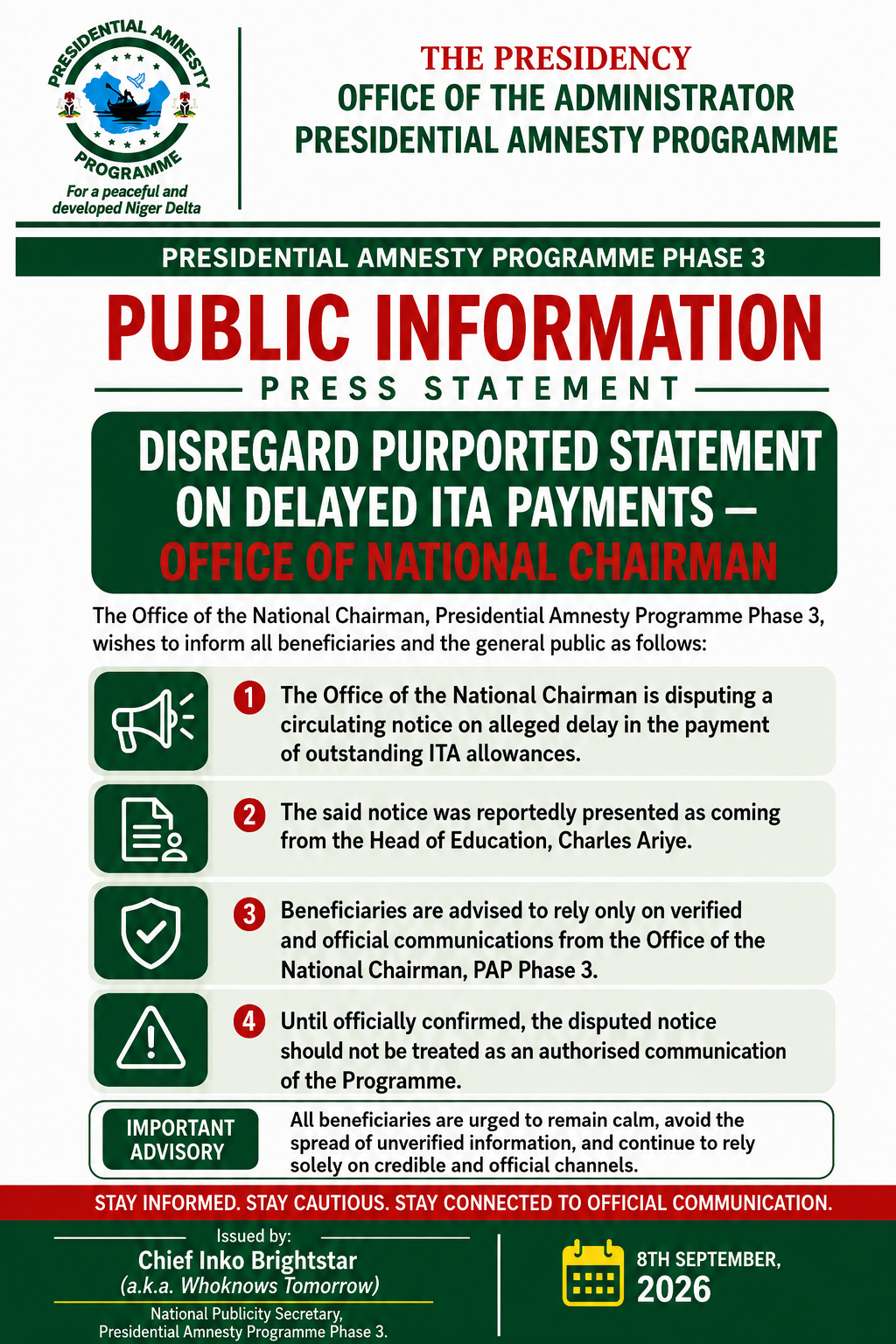
PRESIDENTIAL AMNESTY PROGRAMME PHASE 3: DISREGARD PURPORTED STATEMENT ON DELAYED ITA PAYMENTS — OFFICE OF NATIONAL CHAIRMAN
The Office of the National Chairman of the Presidential Amnesty Programme Phase 3, General Elaye ThankGod Dollar Slaboh, has called on beneficiaries a
 General News
RE: CLARIFICATION ON MY PERSONAL RELATIONSHIPS
PUBLIC NOTICErnrnRE: CLARIFICATION ON MY PERSONAL RELATIONSHIPSrnrnIt has become necessary to make this public clarification following the increasing